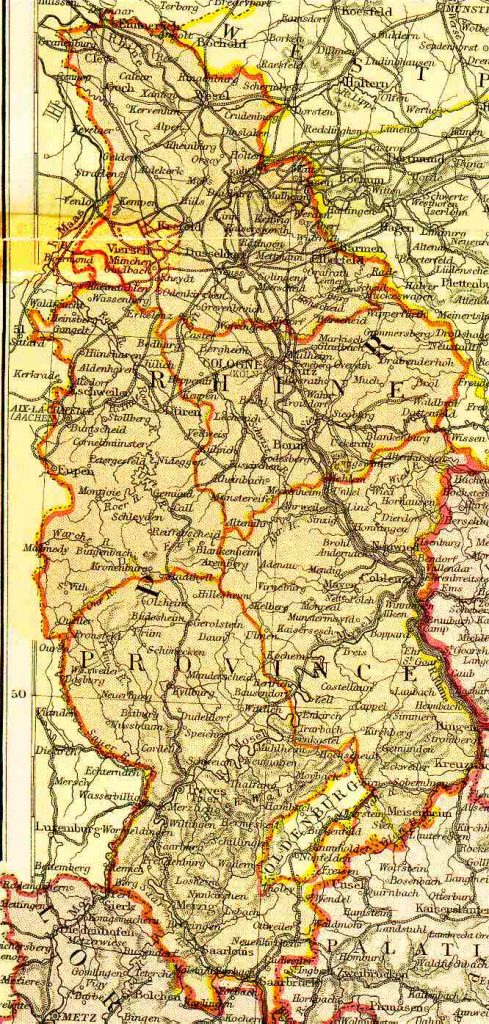
Rheinland, Prussia 1882
Map name
Rheinland, Prussia 1882
From Blackie & Sons Atlas (Edinburgh, 1882), Scale: 1:1,800,000 (or one inch equals about 28 miles)
Thanks to all who joined us and made the 2026 conference memorable!
The conference
Video Presentations
are available to attendees.