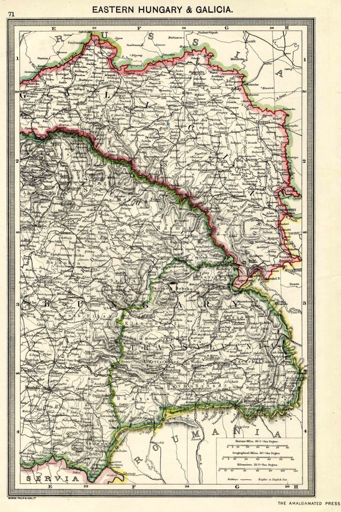
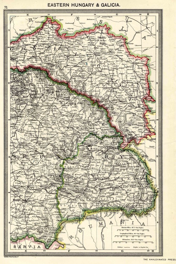
Eastern Hungary and Galicia 1908
Map name
Eastern Hungary and Galicia 1908
From Harmsworth Atlas and Gazetteer, London, 1909, Scale: 1:2,800,000
Download the Hi Res Map and view the Gazetteer
Download the Hi Res Map and view the Gazetteer