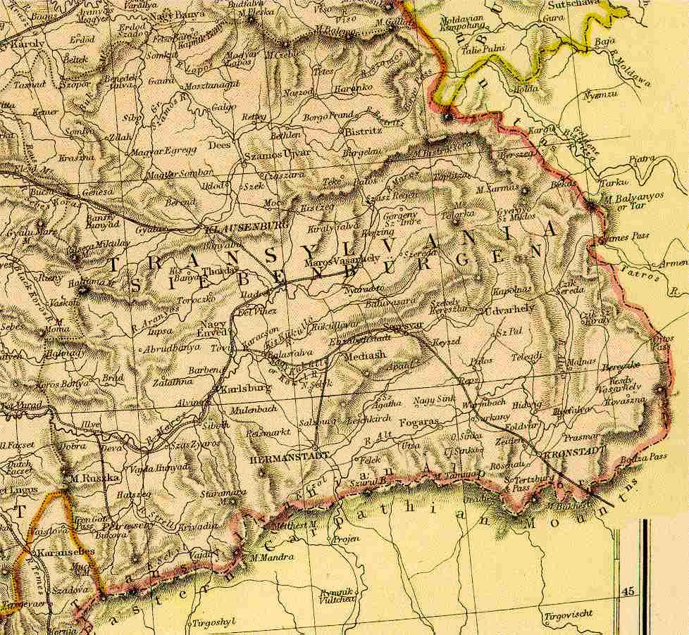
Map name Eastern Hungary - Transylvania 1882 From Blackie & Sons Atlas (Edinburgh, 1882), Scale: 1:2,700,000 or one inch = about 42 miles Map group Austro-Hugarian Empire