
Secondary navigation

Show — Secondary navigation Hide — Secondary navigation
  • About
  • Contact Us
  • FEEFHS History
  • Personnel

Search form

feefhs

Home
FEEFHS
FOUNDATION for EAST EUROPEAN FAMILY HISTORY STUDIES
  • Home
  • Conference
    • Conference Overview
    • Register Now
  • Maps
    • Map Library
    • Austro-Hungarian Empire
    • Balkan Peninsula
    • Europe - General
    • German Empire
    • Germans from Russia
    • Hutterite Places
    • Russian Empire - Asia
    • Russian Empire - Europe
  • Archives
    • FEEFHS Journals
    • Newsletters
    • Conferences
    • Conferences Pre-2019
    • Photo Galleries
  • Events
  • Regions
    • Banat
    • Bukovina
    • Carpatho-Rus'
    • Galicia
  • Religions
    • All Groups
    • Hutterites
    • Jewish
    • Mennonites
  • Resources
    • Resource List
    • Resource Directory Map
    • Country Resource Grid
    • East Europeans in Other Countries
    • Germans from Russia
    • General Information
    • Immigration

« 2023 Early Bird Conference Registration is Now Open »

Introduction to FEEFHS Video!

North Greece, Macedonia and Albania 1882

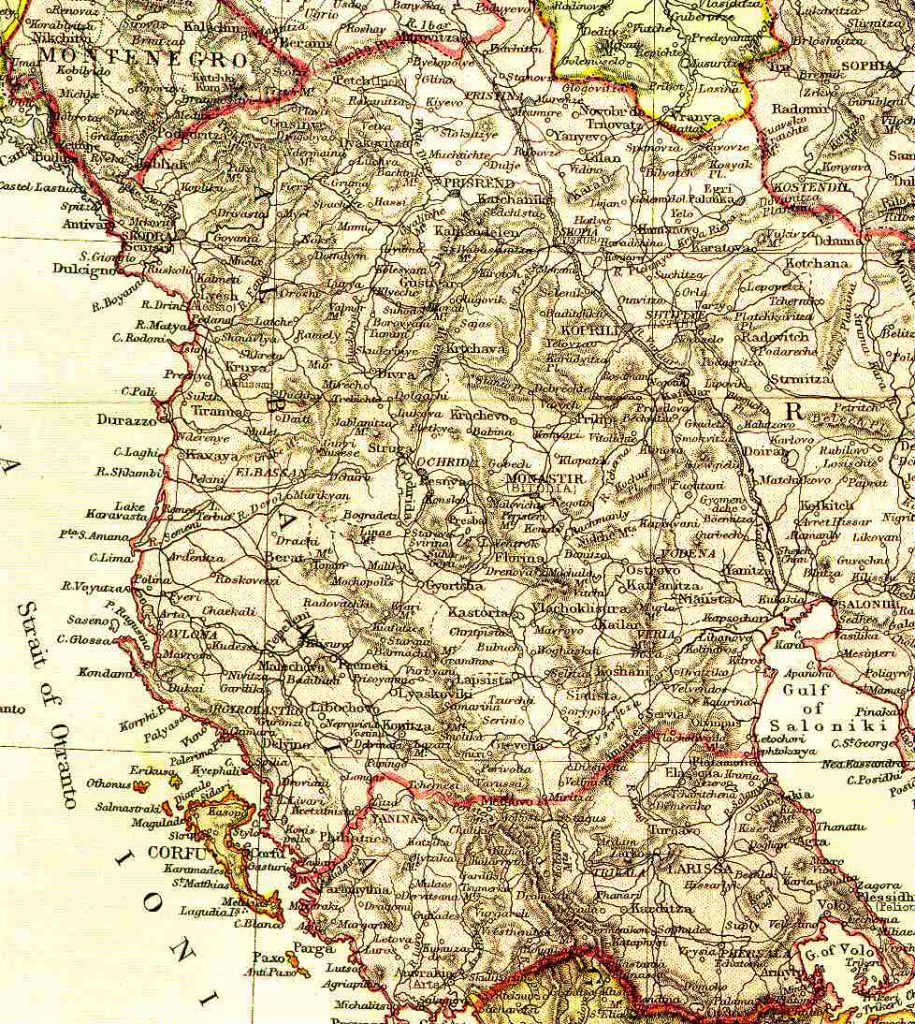
Map name

North Greece, Macedonia and Albania 1882

From Blackie & Sons Atlas (Edinburgh, 1882), Scale: 1:3,200,000 (or one inch = about 50 miles)

North Greece, Macedonia and Albania 1882
Map group
Balkans

Map Galleries

Show — Map Galleries Hide — Map Galleries
  • Austro-Hungarian Empire
  • Balkan Peninsula
  • Europe - General
  • German Empire
  • Germans from Russia
  • Hutterite Places
  • Russian Empire - Asia
  • Russian Empire - Europe
  • Scandinavia

Balkan Peninsula Maps

Asia Minor and Armenia East 1908
Asia Minor and Armenia West 1908
Balkans 1887
Bosnia Herzegovina 1882
Bucovina 1901
Bulgaria and Romania 1882
Croatia: Vivodina District
Greece East 1908
Greece West 1908
North Greece, Macedonia and Albania 1882
Ottoman Empire 1683
Romania - Moldavia 1882
Romania -Wallachia 1882
Serbia and Montenegro 1882
South Greece excluding Crete 1882
Transylvania 1880
Turkey in Europe East 1908
Turkey in Europe West 1908

Other Map Resources

Partial Gazetteer to the Harmsworth Atlas
Using Maps and Gazetteers In Your Research
Getty Thesaurus of Geographic Names Online
JewishGen ShtetlSeeker
Kartenmeister
David Rumsey Collection
American Geographical Society Collection
Central and Eastern Europe
Two centuries of Atlases
Perry Castaneda Historical Map Collection

Map Galleries

Show — Map Galleries Hide — Map Galleries
  • Austro-Hungarian Empire
  • Balkan Peninsula
  • Europe - General
  • German Empire
  • Germans from Russia
  • Hutterite Places
  • Russian Empire - Asia
  • Russian Empire - Europe
  • Scandinavia

User account menu

Show — User account menu Hide — User account menu
  • Log in