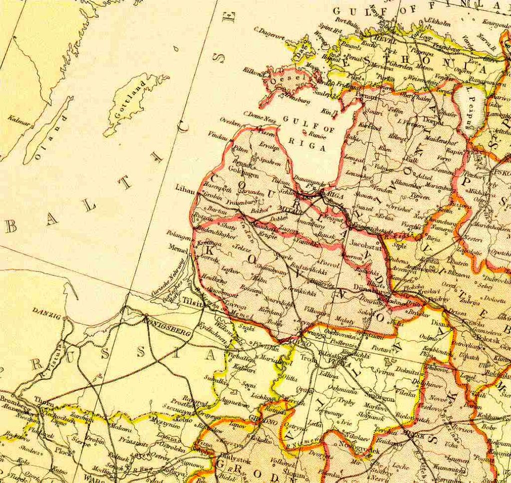
Map name Baltics: Estonia, Latvia and Lithuania 1882 From Blackie & Sons Atlas (Edinburgh, 1882), Scale: 1:6,100,000 (or one inch equals about 96 miles) Map group Russian Empire - Europe